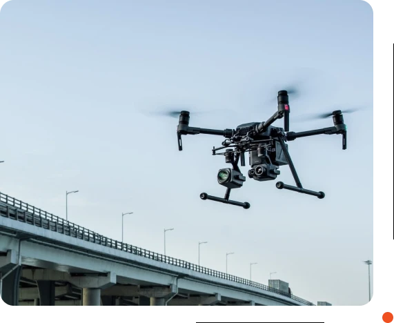
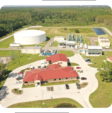
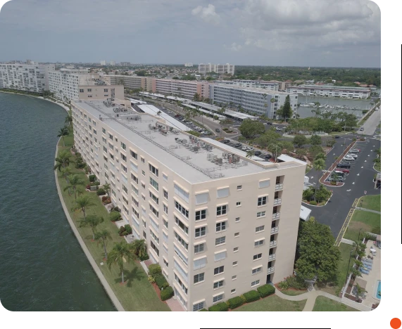
With our advanced drone services in Florida, you can streamline your operations and accomplish multiple projects simultaneously. By deploying our state-of-the-art drones, we can cover large areas efficiently, collecting valuable data and imagery that empowers decision-making across various projects. Save time, resources, and effort by harnessing the power of aerial technology for your business.
Lite Wing has been associated with a high level of quality and professionalism. That’s largely because of our concerted effort to provide reliable and innovative drone services that enhance safety, improve efficiency, and increase accuracy of our clients' operations while reducing costs and minimizing environmental impact.
Site Planning
LiDAR mapping using drone technology allows for the creation of highly accurate and detailed maps and 3D models of construction sites, providing valuable information for project planning and layout.
This technology can aid in the identification of potential issues, enabling teams to make data-driven decisions and improve overall efficiency. By leveraging the power of LiDAR mapping, construction companies can benefit from cost-effective and time-saving solutions that drive prosperity to the bottom line. Let us put our expertise in drone data collection to work for your next construction project.
Inspections
The utilization of drone technology in infrastructure inspections allows for the identification of potential problems or defects, such as cracks or misaligned components. By utilizing this data, appropriate steps can be taken to address and repair these issues.
Monitoring
By utilizing drone technology, we can track the progress of a construction project in real-time, giving us the ability to identify any delays or obstacles and take immediate action to address them.
The data gathered from drones allows for a detailed and accurate view of the construction site, enabling us to make informed decisions that can improve the efficiency and success of the project. With our drone data, we can ensure that your construction project stays on schedule and within budget.
Documentation
Drones can capture detailed images and videos of a construction site, which can be used to document progress and changes over time. This information can be used for reporting, legal,
or compliance purposes, providing a comprehensive record of the project and any issues that may arise. The use of drones in this way can help ensure that all stakeholders have accurate and up-to-date information about the project, and can take appropriate action to address any issues that may arise.
"Lite Wing's drone service was perfect for capturing footage of our outdoor event. Their team was flexible and able to capture amazing aerial shots of the crowd and the event setup. The footage they provided was top-notch and helped us promote our event uniquely and memorably."
- Larry Harkins, City of Tarpon Springs.
"As a real estate agent, I needed a reliable drone service to capture footage of different properties. I chose Lite Wing, and they exceeded my expectations. Their drones were advanced and capable of capturing all angles. Their team was easy to work with and delivered the footage quickly."
- Future Home Realty- Jerry Leonard.
"Lite Wing's drone service was amazing! They were able to capture high-quality aerial footage for my marketing campaign. their team was professional and knowledgeable, and they delivered the footage promptly. Highly recommended!"
- CCS Construction.
Our drone services revolutionize how large land projects are surveyed. We provide accurate and comprehensive data on land topography, boundaries, and features using aerial drones with cutting-edge sensors and cameras. Experience faster turnaround times, improved accuracy, and enhanced efficiency with our drone surveying solutions.
Our high-resolution aerial photography and video services help showcase your listings in a stunning and immersive way. Give potential buyers a unique perspective, highlighting your properties' features, size, and surroundings. Boost sales, attract more clients, and stand out in the competitive real estate market with our drone services in Florida.
Our newsletter brings you inspiring perspectives and remarkable views captured by our expert photographers and videographers. Whether you're interested in stunning landscapes or dynamic real estate showcases, our newsletter provides valuable insights for creating compelling aerial projects.
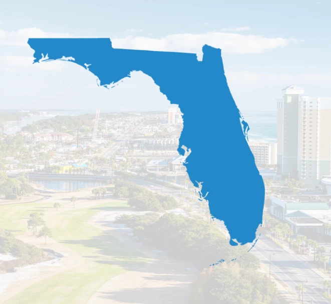
subscribe nowLite Wing is an aerial drone company that serves clients across Florida, including Hillsborough County, Pasco County, Pinellas County, Polk County,Hernando County, Miami, Sarasota County, Manatee County, Volusia County, Orange County, Palm Beach, Osceola and Seminole County.